 NOTE: If you've already read this post and just want to see what Kelly had to say after he ran the route, head down to the Turn-By-Turn section and back up one paragraph.
Leave it to Kelly to find back roads, twists and turns where we mere mortals simply hit the highway. This route bodes well for those of us lucky enough to be able to go on the
Midlife Cycles annual trek to Arkansas. If Kelly can find these roads in the coastal plain, just think what he can do in the mountains.
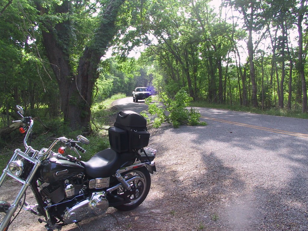
If you leave Pearland at about 10 - 10:30, you'll be through the obligatory trip down CR 42 and the
new obligatory section down Cow Creek Rd in time to find lunch at Cowgirls Kitchen in West Columbia. You'll be going slow enough to spot it on your left, thanks to some construction going on. Just order whatever is on special. Today it was chicken fried steak and it was great. Mashed potatos covered in white gravy, green beans, corn and of course the steak. Lauren is likely to ask you if you want two steaks or just one. "It's the same price" she'll say. If you leave here hungry, it's your own fault.
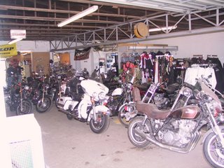
After lunch, and before you get back up to speed, take a look on the right, where you'll see First Capitol V-Twin. If you want to remember what Harley shops used to look like before yuppies discovered the mark, stop in here and poke around for a minute. All the bikes are used 'cause this isn't a bonafide HD shop. And thanks to the construction and the apparent priorities of this shop, they are also all covered in dust. Peak in the back and you are likely to see a Vespa motor scooter up on the rack getting a once over. Don't miss the old choppers leaking oil on the floor either. Take a hard look here, you may find a bargain.
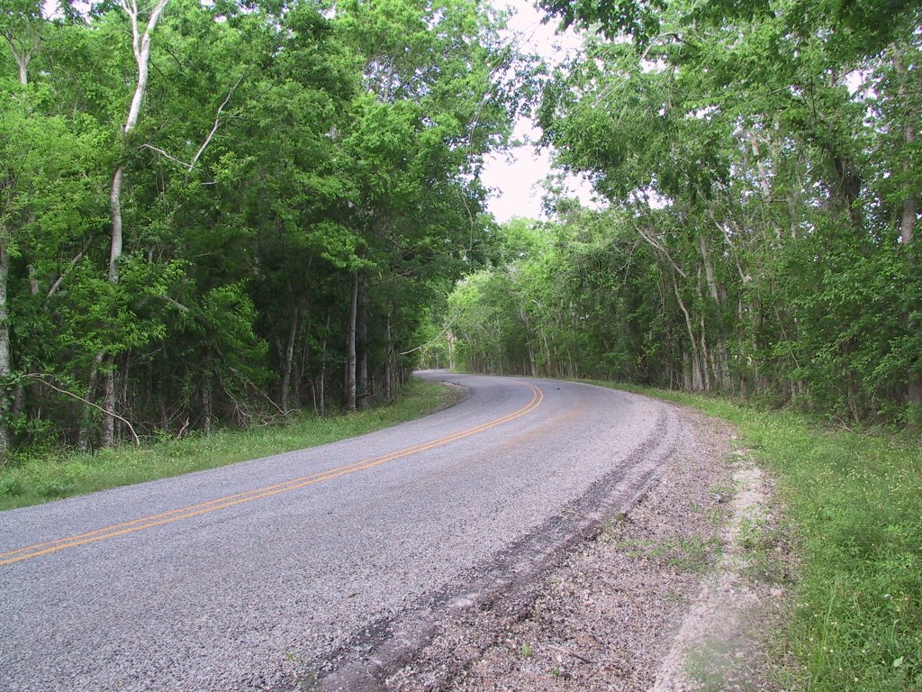
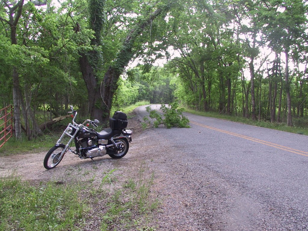
Once you've gotten your fill of a real bike shop, get back to the twisties that lead you to Sweeny and around the horn to Lake Jackson. You've not only traveled 90 miles at this point, you've also been down to about 5 ft above sea level and are soon to be even lower.
At Freeport, it is obvious that you are in the coastal plain and you can look left an
d right as far as the eye can see. (Hmmmmm, when is it that you can't look as far as the eye can see?) What I mean to say, is that you'll enjoy riding on top of Levee Rd and seeing all the marsh sights that you may not get to see very often.
You are basically headed North and home now and there will be some straight sections here. You'll get to Liverpool about an hour and a half after lunch so you might want to stop in for a Big Red at the General Store. If you want to stop anywhere else in Liverpool, you'd better know one of the 2,574 people who live there cause I didn't see anything else in that town. Nice folks though. Some of our group have met the local constabulary and have suggested that you might want to keep the speed needle in a conservative range around here. Rather than meeting the local sheriff, I suggest you ask to see the new kittens out back.
The rest of your trip covers some of the same roads that got you down South. In case you missed it on the way down, b
e sure to look left and spot the private ski lakes that someone built along Brister Rd. Man these folks must like to ski. Do you think it has something to do with the lean? Maybe they would also like riding bikes.
Enjoy this ride and be sure to thank Kelly for the turn-by-turn directions next time you see him.
Do you have a route that others might enjoy?
Email me and let's get it posted.
Kelly ran this route Saturday and had this to say;
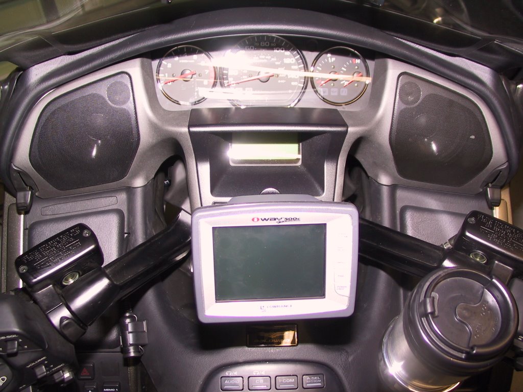
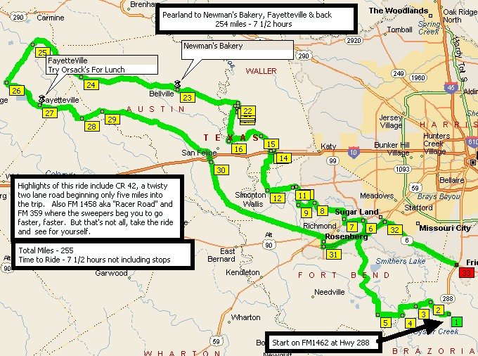
Ran the route just as posted, well maybe with a little extra purpose. Keep in mind the more bikes you have on a ride the more time it takes. This is what the GPS said when I finished.Total time 3 hrs 13 minutesDriving time 2 hrs 59 minutesStopped time 14 minutesAverage speed 52.6 miles per hourTotal miles 157.2Riding with a little less purpose (lets say one that keeps everyone happy) and several short stops you can do this ride in four hours. If you have several bikes going at an easy pace and stopping for some sights plan on five hours. If you stop to eat make it five to six. This route is mainly back roads, so if you want to eat you may need to wander off the path a bit. As you ride the loop if you find a good place to eat let us know so we can post it.This route crosses main roads many times, if you need to cut it short you can very easily.Thanks Kelly
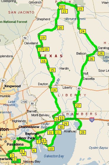
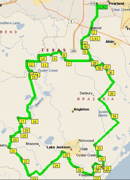
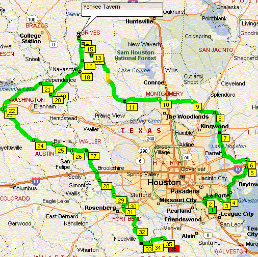
Turn-by-turn
Start Pearland 518 (Broadway) and 1128
Go south on 1128 for 7 miles to Hwy 6
Cross hwy 6 onto Master rd. which will turn into Manvel Sandy Point rd. and go 6 miles to Brister rd.
Turn left on Brister rd. and go 4.25 miles to 1462
Turn right on 1462 and go 6.3 miles to 521
Turn right on 521 and go 2.5 miles to 42
Turn left on 42 and go 7.7 miles to 1462
Turn right on 1462 and go 3.4 miles to Cow Creek rd.
Turn left on Cow Creek rd which will turn into Nash rd. and go 2.8 miles to Pecan rd.
Turn left on Pecan and go .9 miles to Forest dr.
Turn right on Forest and go .3 miles to Brazoria River rd.
Turn right on Brazoria River rd. and go 1 mile to Nash rd.
Turn left on Nash rd. and go 12.3 miles to 35
Turn right on 35 and go 3.1 miles to 36
Turn left on 36 and go 1.9 miles to 522
Turn right on 522 and go 4.9 miles to 1459
Turn left on 1459 and go 3.2 miles to 524
Turn left on 524 and go 4.4 miles to 521
Cross 521 onto 316 (Stratton) and go 5 miles to 2611
Turn left on 2611 and go 7.7 miles to 36
Cross 36 onto 2004 and go 3.7 miles to Brazos River rd.
Turn right on Brazos River rd. and go 5.5 miles to 36
Turn left on 36 and go 5.1 miles to 1495
Turn left on 1495 and go 2.2 miles to 523
Turn right on 523 and go 1.2 miles to 332
Turn right on 332 and go 1.9 miles to levee rd.
Turn left on Levee rd. and go 3.8 miles to 523
Turn right on 523 and go 3 miles to Hoskins Mound rd.
Turn right on Hoskins Mound rd. and go 12 miles to 2004
Cross 2004 onto Liverpool Hoskins rd. and go 11.8 miles to 35
Cross 35 and go 1.7 miles to Parker School rd.
Turn left on Parker School rd. and go 2 miles to Russell rd.
Turn right on Russell and go 2.2 miles to 1462
Cross 1462 and go .5 miles to Brister rd.
Turn right on Brister and go 4 miles to Manvel Sandy Point rd.
Turn right on Manvel Sandy Point rd. and go 6 miles to Hwy 6
Cross Hwy 6 and go 7 miles to 518
 Starting back - 244SE to 3090. Go right.